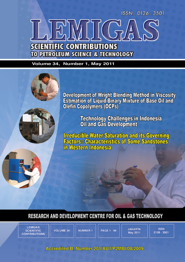
The Jurassic-Cretaceous Paleogeography Of The Sula Area, North Maluku
DOI:
https://doi.org/10.29017/SCOG.34.1.793Keywords:
Jurassic-Cretaceous, Paleogeography, Sula, North MalukuAbstract
The study of paleogeography and hydrocarbon potentiality of the Sula area, North Maluku has been conducted by the Lemigas Exploration team. This paper specifically presents a paleogeography of the Jurassic-Cretaceous age of the Sula area as a part of the result of this study. In this paper, paleogeography means palaeoenvironment which is defined based on biostratigraphy. Data used in this paper are mostly secondary data obtained from National Data Center which is combined with primary data collected during field work campaign. The subsurface data analysis allows subdivision of 7 depositional sequences throughout Jurassic-Cretaceous succession. In fact, each sequence mostly consists of transgressive and highstand system tracts. Lowstand system tract only occurs in the earliest sequence. Sequences 1 (Bobong Formation), 2, 3 and 4 (Buya Formation) are assigned to the Jurassic age, whilst sequences 5, 6 and 7 (Buya Formation) are attributed to the Cretaceous age. Generally, the depositional environment of most sequences is getting deeper toward the North. The shallowest environment takes place in non-marine setting, whereas the deepest environment occurs in outer neritic (100m-200m). It is most likely that Jurassic-Cretaceous depocenter was situated in the northern part of the study area. However, it is required additional data to confirm this interpretation.
References
Garrard, R. A., Supandjono, J. B. and Surono.,
The Geology of the Banggai-Sula
Microcontinent, Eastern Indonesia. Proc. Indon.
Petro. Assoc., 17th Annual Convention, pp. 23-
Ingle, J. C. Jr., 1980. Cenozoic Paleobathymetri
and Depositional History of Selected Sequences
within the Southern California Continental Borderland.
Cushman Foundation Special Publication,
vol. 19, Memorial to Orville L. Bandy,
pp. 163-195.
Kemp, G. and Mogg, W., 1992. A Re-appraisal
of the Geology, Tectonic and Prospectivity of
Seram Island, Eastern Indonesia. Proc. Indon.
Petro. Assoc., 20th Annual Convention, pp. 521-
Lelono, E. B., Djunaedi, M. T., Panuju,
Nugrahaningsih, L. and Sukmo Rasantyo, T.
B., 2010. Paleogeography and Hydrocarbon Potentiality
of the Sula Area, North Maluku.
Lemigas In-house Research Report.
Pigram, C. J., Surono and Supandjono, J. B.
Geology and Regional Significance of the
Sula Platform, East Indonesia. Joint Publication
by Geological Research and Development Centre,
Indonesia and Bureau of Mineral Resources
Australia. (GRDC Publication).
Sukamto, R., 1975. Ujung Pandang 1:1,000,000
Scale Geological Map. Geological Survey of Indonesia.
Supandjono, J. B. and Haryono, E., 1986.
Laporan Interpretasi Foto Udara Bidang Regional,
Pusat Penelitian dan Pengembangan Geologi.
(GRDC Map Publication).
Surono and Sukarna, D.,1985. Laporan Geologi
Lembar Sanana, Maluku, Skala 1:250,000. Proyek
Pemetaan Geologi dan Interpretasi Foto Udara
Bidang Pemetaan Geologi, Pusat Penelitian dan
Pengembangan Geologi. (GRDC Map Publication).
Soeka, S., 2007. Paleogeography of the Tertiary
Basins in Indonesia. Internal Report of Stratigraphy
Group, Jakarta.
Tipsword, H. L., Setzer, F. M. and Smith, F.
M. Jr., 1966. Interpretation of Depositional Environment
in Gulf Coast Petroleum Exploration
from Paleoecology and Related Stratigraphy.
Trans. Gulf Coast Ass. Geol. Soc. Vol. XVI,
pp. 119-130.ˇ
Downloads
Issue
Section
License
Copyright (c) 1970 SCIENTIFIC CONTRIBUTIONS OIL AND GAS (SCOG)

This work is licensed under a Creative Commons Attribution 4.0 International License.
Authors are free to Share — copy and redistribute the material in any medium or format for any purpose, even commercially Adapt — remix, transform, and build upon the material for any purpose, even commercially.
The licensor cannot revoke these freedoms as long as you follow the license terms, under the following terms Attribution — You must give appropriate credit , provide a link to the license, and indicate if changes were made . You may do so in any reasonable manner, but not in any way that suggests the licensor endorses you or your use.
No additional restrictions — You may not apply legal terms or technological measures that legally restrict others from doing anything the license permits.


