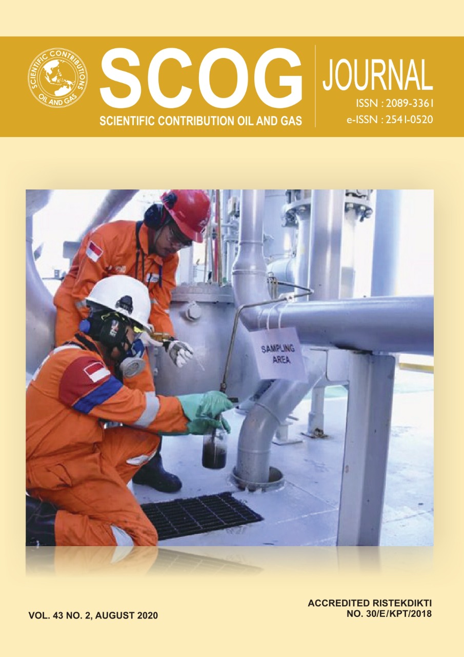
Oil Spill Detection using Sentinel-1 Multitemporal Data in Offshore Karawang
DOI:
https://doi.org/10.29017/SCOG.43.2.522Keywords:
oil spill, Sentinel-1, adaptive thresholdingAbstract
Oil spill is a serious problem that could lead to economic and ecological losses, both in the short and long term. On July 12, 2019, there occurred an oil leakage around YYA-1 oil platform of Pertamina Hulu Energi Offshore North West Java (PHE ONWJ), located off the northern coast of Karawang, Java Sea. This incident has caused the death of fishes and marine animals, damage to coral reefs, mangroves, and seagrass beds, and several health problems of coastal communities. Therefore, it is necessary to map and monitor oil spills, so that actions can be taken to prevent the spread of oil spills. This study aims to map the distribution of oil spills in Karawang sea using multitemporal Sentinel-1 data from July to September 2019. The detection is carried out using the adaptive thresholding algorithm combined with manual interpretation. The result shows that the oil spills spread around Karawang sea from YYA-1 platform to Sedari Village and there are oil spills spreading from the Central Plant F/S platform. The oil spills tend to shift westward from July to September 2019. This shifting is supposed to be influenced by current and wave factors that were dominant moving westward at that time. Based on data processing, it was found that the oil spill area from July to September was respectively 24.79 km2, 20.05 km2, and 27.12 km2.
References
Adams, A., 2015. Summary of Information concerning the Ecological and Economic Impacts of the BP Deepwater Horizon Oil Spill Disaster: Natural Resource Defense Council (NRDC).
Agus, F., Soeprijadi, L. & Pasaribu, . R., 2020. Kajian Hidro-Oseanografi Di Perairan Kabupaten Karawang. PELAGICUS - Jurnal IPTEK Terapan Perikanan dan Kelautan, 1(1), pp. 39-51.
Azizi, N., 2018. ESDM.go.id. [Online] Available at: https://www.esdm.go.id/id/media-center/arsip-berita/eksplorasi-lapangan-offshore-fokus-utama-pengembangan-aktivitas-hulu-migas
[Accessed 23 August 2020].
Bayramov, E., Kada , M. & Buchroithner, M., 2018. Monitoring oil spill hotspots, contamination probability modelling and assessment of coastal impacts in the Caspian Sea using SENTINEL-1, LANDSAT-8, RADARSAT, ENVISAT and ERS satellite sensors. Journal of Operational Oceanography, 11(1).
Brekke, C. & Solberg, A. H., 2005. Oil spill detection by satellite remote sensing. Remote Sensing of Environment, 95(1), pp. 1-13.
Friedman, K., Pichel, W., Clemente-Colon, P. & Li, X., 2002. GoMEx – an experimental GIS system for the Gulf of Mexico Region using SAR and additional satellite and ancillary data. Toronto, ON, Canada, IEEE.
Greenomics, 2018. Kerugian tumpahan minyak Pertamina diperkirakan minimal 8,27 miliar dollar AS. [Online] Available at: http://www.greenomics.org/press-release?start=6
[Accessed 27 February 2021].
Ivanov, A. Y., Dostovalov, M. Y. & Sineva, A. A., 2013. Characterization of oil pollution around the oil rocks production site in the Caspian Sea using spaceborne polarimetric SAR imagery. Izvestiya, Atmospheric and Oceanic Physics, Volume 48, p. 1014–1026.
Ivanov, A. Y., He, M.-X. & Fang, M., 2002. Oil spill detection with the RADARSAT SAR in the waters of the Yellow and East China Sea: A case study, Asian Remote Sensing Society.
Jones, B., 2001. A comparison of visual observations of surface oil with Synthetic Aperture Radar imagery of the Sea Empress oil spill. International Journal of Remote Sensing, 22(9), p. 1619–1638.
Kompas.com, 2019. Menghitamnya Pantai di Utara Karawang hingga Penanganannya. [Online] Available at: https://regional.kompas.com/read/2019/07/25/10095481/menghitamnya-pantai-di-utara-karawang-hingga-penanganannya?page=all
[Accessed 18 January 2021].
Kumparan.com, 2020. ESDM Ungkap Dugaan Penyebab Tumpahan Minyak Pertamina di Karawang. [Online] Available at: https://kumparan.com/kumparanbisnis/esdm-ungkap-dugaan-penyebab-tumpahan-minyak-pertamina-di-karawang-1sdpYYp9uBc/full [Accessed 5 April 2021].
Lee, Y. G., Garzaâ€Gomez , X. & Lee, R. M., 2018. Ultimate Costs of the Disaster: Seven Years after the Deep water Horizon Oil Spill. The Journal of Corporate Accounting & Finance, 29(1), pp. 69-79.
Lembaga Penerbangan dan Antariksa Nasional (LAPAN), 2019. Sistem Informasi Mitigasi Bencana (SIMBA) Dampak bencana Tumpahan Minyak. [Online] Available at: https://spbn.pusfatja.lapan.go.id/layers/?limit=100&offset=0&owner__username__in=minyak_tumpah [Accessed 21 August 2019].
Lintin, A., 2012. Perhitungan Biaya Kerugian Akibat Tumpahan Minyak Montara di Pesisir Nusa Tenggara Timur,. Surabaya: ITS Surabaya.
Manalu, J. E. R. & Issetiabudi, D. E., 2019. Bisnis Indonesia. [Online]
Available at: Bisnis.com: https://ekonomi.bisnis.com/read/20190808/44/1134055/tumpahan-minyak-pertamina-nelayan-minta-ganti-rugi-ini-jumlahnya [Accessed 27 February 2021].
Marghany, M., 2001. RADARSAT automatic algorithms for detecting coastal oil spill pollution.. International Journal of Applied Earth Observation and Geoinformation, 3(2), pp. 191-196.
Marghany, M. & van Genderen, J., 2013. Entropy Algorithm for Automatic Detection of Oil Spill from Radarsat-2 SAR Data. Sarawak, Malaysia, IOP Conference Series: Earth and Environmental Science.
Marsya, N. N., Panjaitan, J. P. & Prayogo, T., 2012. Pendeteksian Tumpahan Minyak Di Laut Timor Dengan Metode Filter Frost Dan Gamma Terhadap Citra Alos Palsar Di Ladang Minyak Montara. Bogor: Institut Pertanian Bogor.
Misra, A. & Balaji, R., 2017. Simple Approaches to Oil Spill Detection Using Sentinel Application Platform (SNAP)-Ocean Application Tools and Texture Analysis: A Comparative Study. Journal of the Indian Society of Remote Sensing, Volume 45, p. 1065–1075.
Ningsih, N. S., Yamashita, T. Y. & Aouf, L., 2000. Three-Dimensional Simulation of Water Circulation in the Java Sea: Influence of Wind Waves on Surface and Bottom Stresses. Natural Hazards, Volume 21, pp. 145-171.
Nirchio, F. et al., 2005. Automatic detection of oil spills from SAR images. International Journal of Remote Sensing, 26(6), pp. 1157-1174.
Osmanoglu, B., Ozkan, C. & Sunar, F., 2013. Comparison Of Semi-Automatic And Automatic Slick Detection Algorithms For Jiyeh Power Station Oil Spill. Antalya, Turkey, ISPRS.
Pavlakis, P., Tarchi, D. & Sieber, A., 2001. On the Monitoring of Illicit Vessel Discharges, A reconnaissance study in the Mediterranean Sea, Italy: European Comission.
Pertamina, 2019. Cara Pertamina Intensif Tangani Peristiwa Anjungan YYA : Responsible, Capable & Credible. [Online] Available at: https://www.pertamina.com/id/news-room/news-release/cara-pertamina-intensif-tangani-peristiwa-anjungan-yya-responsible-capable-credible [Accessed 7 March 2021].
Pertamina, 2019. PHE ONWJ Intensifkan Penanganan Gelembung Gas di Sekitar Anjungan Lepas Pantai YYA. [Online] Available at: https://www.pertamina.com/id/news-room/news-release/phe-onwj-intensifkan-penanganan-gelembung-gas-di-sekitar-anjungan-lepas-pantai-yya [Accessed 7 March 2021].
Pertamina, 2019. PHE ONWJ Pastikan Proses Mematikan Sumur YYA-1 Berjalan Aman dan Stabil. [Online] Available at: https://www.pertamina.com/id/news-room/news-release/phe-onwj-pastikan-proses-mematikan-sumur-yya-1-berjalan-aman-dan-stabil
[Accessed 5 April 2021].
Pertamina, 2019. Tim Emergency PHE Bersama Warga Intensif Bersihkan Pantai. [Online] Available at: https://www.pertamina.com/id/news-room/news-release/tim-emergency-phe-bersama-warga-intensif-bersihkan-pantai [Accessed 7 March 2021].
Prastyani, R. & Basith, A., 2018. Utilization of Sentinel-1 SAR Imagery for Oil Spill Mapping: A Case Study of Balikpapan Bay Oil Spill. Journal of Geospatial Information Science and Engineering (JGISE), 1(1), pp. 22-26.
Prastyani, R. & Basith, A., 2019. Deteksi Tumpahan Minyak di Selat Makassar dengan Penginderaan Jauh Sensor Aktif dan Pasif. ELIPSOIDA. Jurnal Geodesi dan Geomatika, 2(1), pp. 88 - 94.
Putranto, H. E., Hartuti, M., Putri, R. A. & Putri, S. G., 2016. Pemanfaatan Data Sentinel-1 untuk Analisis Tumpahan Minyak secara Multi-Temporal di Perairan Utara Jawa Timur, pp. 354-361.
Rizal, M., 2019. Nelayan Desa Sedari Masih Bersihkan Tumpahan Minyak Mentah. [Online] Available at: https://jabarnews.com/read/73681/nelayan-desa-sedari-masih-bersihkan-tumpahan-minyak-mentah [Accessed 18 January 2021].
Solberg, A. H. S., Brekke, C. & Husoy, P. O., 2007. Oil Spill Detection in Radarsat and Envisat SAR Images. IEEE Transactions on Geoscience and Remote Sensing, 45(3), pp. 746 - 755.
Solberg, A. S., Brekke, C., Solberg, R. & Husoy, P. O., 2004. Algorithms for Oil Spill Detection in Radarsat and ENVISAT SAR Images. Anchorage, AK, USA, IEEE.
Solberg, A., Storvik, G., Solberg, R. & Volden, E., 1999. Automatic Detection of Oil Spills in ERS SAR Images, IEEE, pp. 1916 - 1924.
Sulma, S., Rahmi, K. I. N., Febrianti, N. & Sitorus, J., 2019. Deteksi Tumpahan Minyak Menggunakan Metode Adaptive Threshold dan Analisis Tekstur pada Data SAR. Majalah Ilmiah Globe, 21(1), pp. 45-52.
Sumaila, U. R. et al., 2012. Impact of the Deep water Horizon well blowout on the economics of U.S. Gulf fisheries. Canadian Journal of Fisheries and Aquatic Sciences, 69(3), pp. 499-510.
Wyrtki, K., 1961. Physical Oceanography of the Southeast Asian waters. California: California: Scripps Institution of Oceanography.
Downloads
Published
Issue
Section
License
Copyright (c) 2020 © Copyright by Authors. Published by LEMIGAS

This work is licensed under a Creative Commons Attribution 4.0 International License.
Authors are free to Share — copy and redistribute the material in any medium or format for any purpose, even commercially Adapt — remix, transform, and build upon the material for any purpose, even commercially.
The licensor cannot revoke these freedoms as long as you follow the license terms, under the following terms Attribution — You must give appropriate credit , provide a link to the license, and indicate if changes were made . You may do so in any reasonable manner, but not in any way that suggests the licensor endorses you or your use.
No additional restrictions — You may not apply legal terms or technological measures that legally restrict others from doing anything the license permits.


