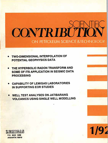
TWO-DIMENSIONAL INTERPOLATION OF POTENTIAL GEOPHYSICS DATA
DOI:
https://doi.org/10.29017/SCOG.15.1.1112Keywords:
Interpolation, Potential, Geophysics DataAbstract
Many types of geophysical survey involve making numerical observations as a large number of localities in a so called survey area. In order to display the result of such a survey in a way which can be easily assimilated by the interpreter they must be process a map form with the X and Y values (geographical position) associated with each data point.
References
Briggs, I.C., 1974. “Machine contouring using minimum curvatureâ€, Geophysics, 39, 1, pp. 39-48
Fuller, B.D., 1967, “Two dimensional frequency analysis and design of grid operatorsâ€, in Mining Geophysics, Vol II,S.E.G., Tulsa, pp. 658-708
Kreyszig, W., 1979, Advance Engineering Mathematics, John Wiley & Sons, Inc., New York, 939 pp.
Downloads
Issue
Section
License
Copyright (c) 1970 SCIENTIFIC CONTRIBUTIONS OIL AND GAS (SCOG)

This work is licensed under a Creative Commons Attribution 4.0 International License.
Authors are free to Share — copy and redistribute the material in any medium or format for any purpose, even commercially Adapt — remix, transform, and build upon the material for any purpose, even commercially.
The licensor cannot revoke these freedoms as long as you follow the license terms, under the following terms Attribution — You must give appropriate credit , provide a link to the license, and indicate if changes were made . You may do so in any reasonable manner, but not in any way that suggests the licensor endorses you or your use.
No additional restrictions — You may not apply legal terms or technological measures that legally restrict others from doing anything the license permits.


