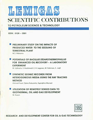
UTILIZATION OF REMOTELY SENSED DATA TO GEOTHERMAL, OIL AND GAS DEVELOPMENT
DOI:
https://doi.org/10.29017/SCOG.18.1.1103Keywords:
Utilization, Geothermal, Oil And Gas DevelopmentAbstract
Some of LEMIGAS experiences in the utilization of remotely sensed data will be briefly discussed, these are : Jambi Sub Basin and North East Java Basin for Preliminary and advanced oil and gas exploration respectively. Dieng field for geothermal exploration, and Balikpapan offshore for sea water quality assessment. It is hoped, through this information, better understanding of the operational aspects and appreciation of the subject can be achieved.
References
Boedihardi, M. Suranto and Sudarman, S., 1991. “Evaluation of the Dieng Geothermal Fields Review of Development Strategyâ€, Proc. Indon Petroleum Assoe., 20nd. Ann. Conv., p247-361
Carter, J. S., 1984, “Satellite Remote Sensing – An Effective Tool For Oil and Gas Explorationâ€, Proc Int. Conf. on Shallow Oil and Gas Resources, 77 – 82
Carter, J. S. and Koger, O. G., 1988, “Successful Aplication of Remotely Sensed Data for Oil and Gas Explorationâ€, Proc. Thematic Conf. on Remote Sensing for Exploration Geology, 19-25.
Downloads
Issue
Section
License
Copyright (c) 1970 SCIENTIFIC CONTRIBUTIONS OIL AND GAS (SCOG)

This work is licensed under a Creative Commons Attribution 4.0 International License.
Authors are free to Share — copy and redistribute the material in any medium or format for any purpose, even commercially Adapt — remix, transform, and build upon the material for any purpose, even commercially.
The licensor cannot revoke these freedoms as long as you follow the license terms, under the following terms Attribution — You must give appropriate credit , provide a link to the license, and indicate if changes were made . You may do so in any reasonable manner, but not in any way that suggests the licensor endorses you or your use.
No additional restrictions — You may not apply legal terms or technological measures that legally restrict others from doing anything the license permits.


